- Format: Spiral
- Antall sider: 288
- Språk: Engelsk
- Forlag/Utgiver: SD Books
- Serienavn: Philip's Street Atlas
- EAN: 9781849075886
- Utgivelsesår: 2022
- Bidragsyter: Philip's Maps
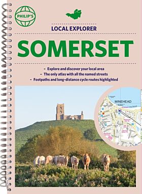
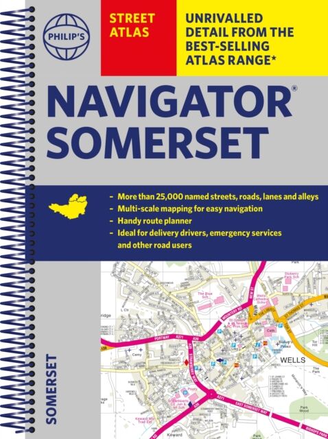
The only county atlas with all the named streets of Somerset - more than 24,000 named streets, roads, lanes and alleys - ideal for finding the best and most effective route anywhere in the area.
Includes all the streets in BATH, BRIDGWATER, FROME, TAUNTON, WESTON-SUPER-MARE, YEOVIL, Bruton, Burnham-on-Sea, Castle Cary, Chard, Crewkerne, Clevedon, Cheddar, Glastonbury, Ilminster, Keynsham, Minehead, Midsomer Norton, Nailsea, Portishead, Sherborne, Shepton Mallet, Street, Somerton, Wincanton, Watchet, Wedmore, Wells, Wellington, Yatton.
With Super-clear mapping, it is routinely used by the emergency services and professional drivers. The Route planner section shows all the A and B roads and can be used to get close to the destination before turning to the relevant large-scale street map.
Packed with useful information including car parks, railway and bus stations, post offices, schools, colleges, universities, hospitals, police