- Format: Spiral
- Antall sider: 296
- Språk: Engelsk
- Forlag/Utgiver: SD Books
- Serienavn: Philip's Street Atlas
- EAN: 9781849075718
- Utgivelsesår: 2022
- Bidragsyter: Philip's Maps
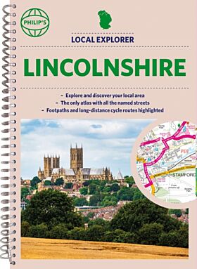
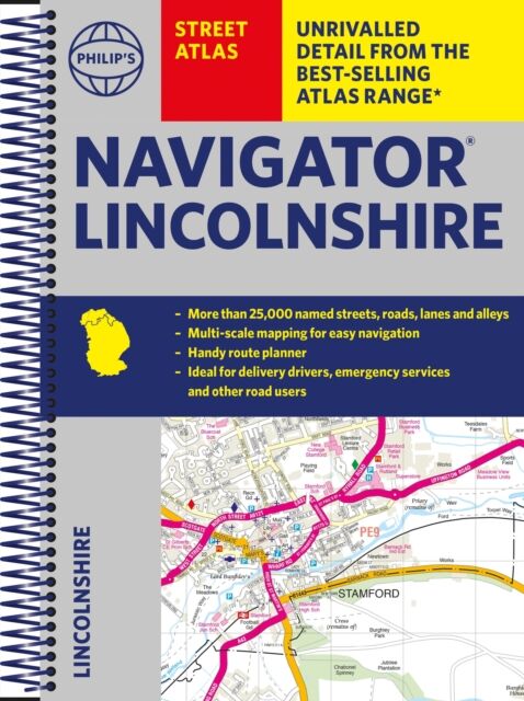
The only county Street Atlas with all the named streets of Lincolnshire and perfect back-up for emergency services, delivery drivers, visitors and locals.
With more than 24,000 named streets, roads, lanes and alleys, this is the essential map book for residents and visitors - especially if you''re in a hurry.
Includes all the streets in BOSTON, GRANTHAM, GRIMSBY, LINCOLN, PETERBOROUGH, SCUNTHORPE, Alford, Barton-upon-Humber, Bourne, Brigg, Chapel St Leonards, Cleethorpes, Coningsby, Gainsborough, Holbeach, Horncastle, Immingham, Long Sutton, Louth, Mablethorpe, Market Deeping, Market Rasen, Skegness, Sleaford, Spalding, Spilsby, Stamford.
- Street mapping clearly shows car parks, stations, schools, hospitals and many places of interest, even those off the beaten path
- A practical route-planning section showing all A and B roads
- Super-clear mapping
- Easy-to-use index
- Scales: 1¿ inches to 1 mile (1:36,0