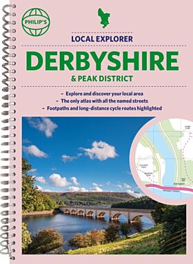
Philip's Navigator Street Atlas Derbyshire and the Peak District
- Forfatter: Philip's Maps
- Format: Spiral
- Antall sider: 328
- Språk: Engelsk
- Forlag/Utgiver: SD Books
- Serienavn: Philip's Street Atlas
- EAN: 9781849076371
- Utgivelsesår: 2023
- Bidragsyter: Philip's Maps
THE ONLY COUNTY STREET ATLAS WITH ALL THE NAMED STREETS OF DERBYSHIRE.
The UK''s best-selling county street atlases
More than 24,000 named streets, roads, lanes and alleys
The essential map book for residents and visitors - and if you''re moving to Derbyshire
Includes all the streets in BUXTON, CHESTERFIELD, DERBY, LONG EATON, MATLOCK, SWADLINCOTE, Alfreton, Ashbourne, Bakewell, Belper, Bolsover, Brimington, Chapel-en-le-Frith, Clay Cross, Clowne, Dronfield, Eckington, Glossop, Heanor, Ilkeston, New Mills, Pinxton, Ripley, Shirebrook, South Normanton, Staveley, Whaley Bridge, Wirksworth
- New edition in practical spiral-bound format
- Street maps show car parks, schools, hospitals and many other places of interest, even ones off the beaten path
- 4-page practical route-planning section showing all A and B roads
- Super-clear mapping
- Easy-to-use index
- Scales: 1¿ inches


