- Format: Spiral
- Antall sider: 224
- Språk: Engelsk
- Forlag/Utgiver: SD Books
- Serienavn: Philip's Street Atlas
- EAN: 9781849076432
- Utgivelsesår: 2024
- Bidragsyter: Philip's Maps
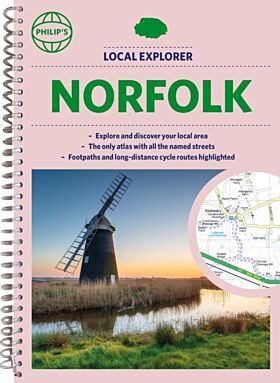
The only county Street Atlas with all the named streets of Norfolk and perfect back-up for emergency services, delivery drivers, visitors and locals.
With more than 16,000 named streets, roads, lanes and alleys, this is the essential map book for residents and visitors - especially if you''re in a hurry.
Includes all the streets in BECCLES, GREAT YARMOUTH, KING''S LYNN, Norwich, Thetford, Attleborough, Aylsham, Brundall, Bungay, Caister-on-Sea, Cromer, Dersingham, Diss, Downham Market, Fakenham, Harleston, Heacham, Hemsby, Hunstanton, Lakenheath, Loddon, North Walsham, Sheringham, Swaffham, Watton, Wells-next-the-Sea, Wisbech, Wymondham.
- New completely revised edition in practical spiral-bound format
- Street maps show car parks, schools, hospitals and many other places of interest, including off the beaten track
- 4-page practical route-planning section showing all A and B roads
- Super-clear mapping
-