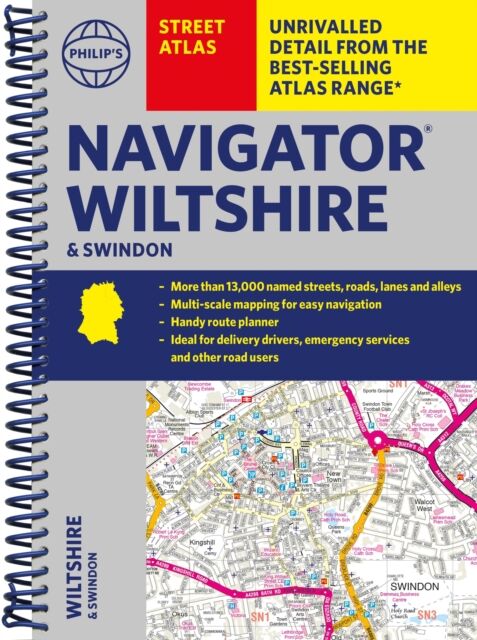
Philip's Navigator Street Atlas Wiltshire and Swindon
- Format: Spiral
- Antall sider: 256
- Språk: Engelsk
- Forlag/Utgiver: SD Books
- Serienavn: Philip's Street Atlas
- EAN: 9781849076395
- Utgivelsesår: 2024
- Bidragsyter: Philip's Maps
The only county Street Atlas with all the named streets of Wiltshire and Swindon and perfect back-up for emergency services, delivery drivers, visitors and locals.
With more than 12,000 named streets, roads, lanes and alleys, this is the essential map book for residents and visitors - especially if you''re in a hurry.
Includes all the streets in CHIPPENHAM, DEVIZES, MARLBOROUGH, SALISBURY, SWINDON, TROWBRIDGE, Warminster, Amesbury, Avebury, Bradford-on-Avon, Burbage, Calne, Corsham, Cricklade, Durrington, Frome, Great Bedwyn, Highworth, Hungerford, Lambourn, Larkhill, Lechlade-on-Thames, Little Bedwyn, Ludgershall, Lyneham, Malmesbury, Melksham, Mere, Pewsey, Purton, Royal Wootton Bassett, Shaftesbury, South Cerney, Stourton, Tidworth, Westbury, Wilton.
- New completely revised edition in practical spiral-bound format
- Street maps show car parks, schools, hospitals and many other places of interest, including off the