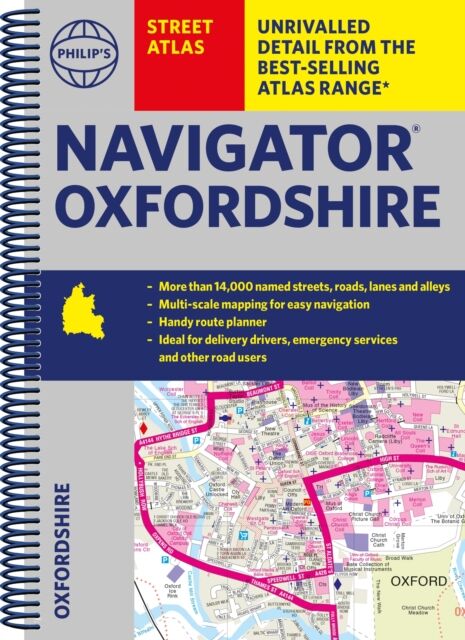
Philip's Navigator Street Atlas Oxfordshire
Spiral edition
- Format: Spiral
- Antall sider: 296
- Språk: Engelsk
- Forlag/Utgiver: SD Books
- Serienavn: Philip's Street Atlas
- EAN: 9781849076319
- Utgivelsesår: 2023
- Bidragsyter: Philip's Maps
The only county Street Atlas with all the named streets of Oxfordshire and perfect back-up for emergency services, delivery drivers, visitors and locals.
With more than 11,000 named streets, roads, lanes and alleys, this is the essential map book for residents and visitors - especially if you''re in a hurry
Includes all the streets in ABINGDON-ON-THAMES, BANBURY, BICESTER, DIDCOT, HENLEY-ON-THAMES, KIDLINGTON, OXFORD, THAME, WITNEY, Adderbury, Benson, Burford, Carterton, Caversham, Chalgrove, Charlbury, Chinnor, Chipping Norton, Cholsey, Cowley, Cumnor, Eynsham, Faringdon, Goring, Grove, Headington, Highworth, Kennington, Lechlade-on-Thames, Middleton Cheney, Pangbourne, Sonning Common, Stokenchurch, Wallingford, Wantage, Wargrave, Watlington, Wheatley, Woodstock, Wootton.
- New completely revised edition in practical spiral-bound format
- Street maps show car parks, schools, hospitals and many other places of interest, including o